Cartographys
Great Britain and Ireland - 1736
Great Britain and Ireland - 1736
Couldn't load pickup availability
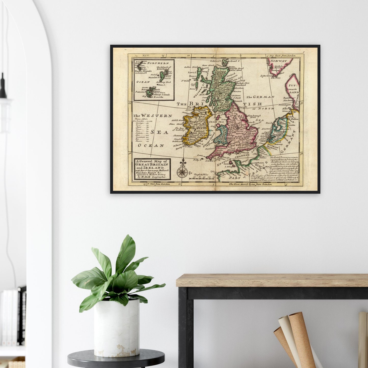
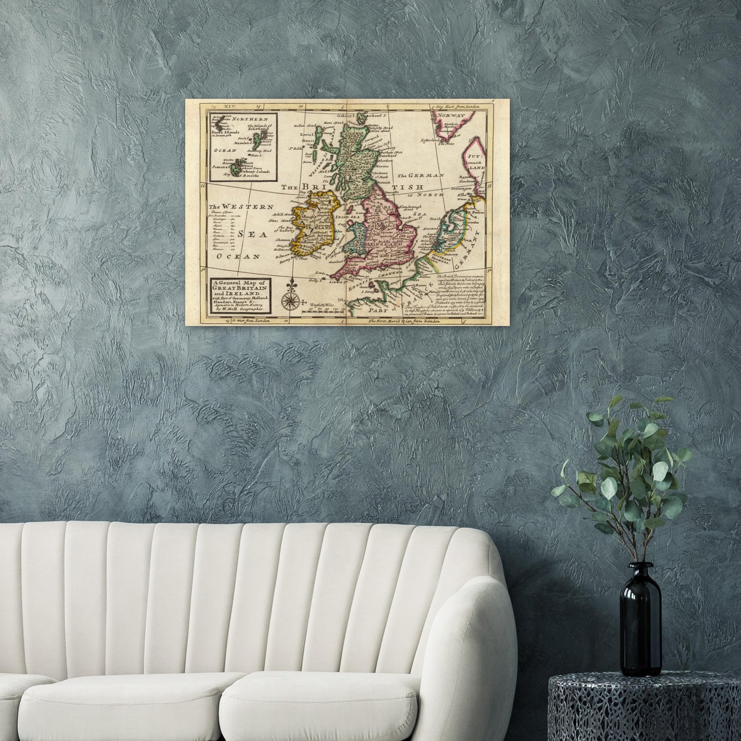
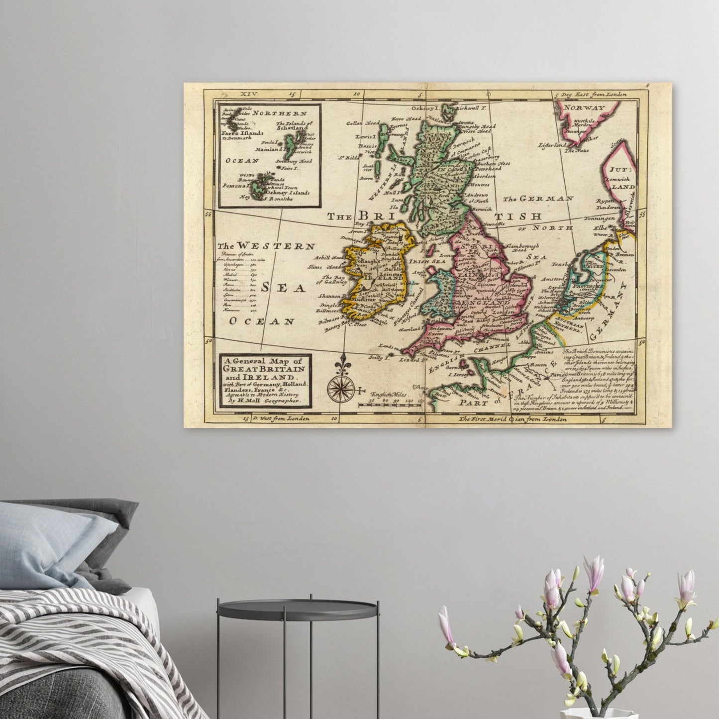
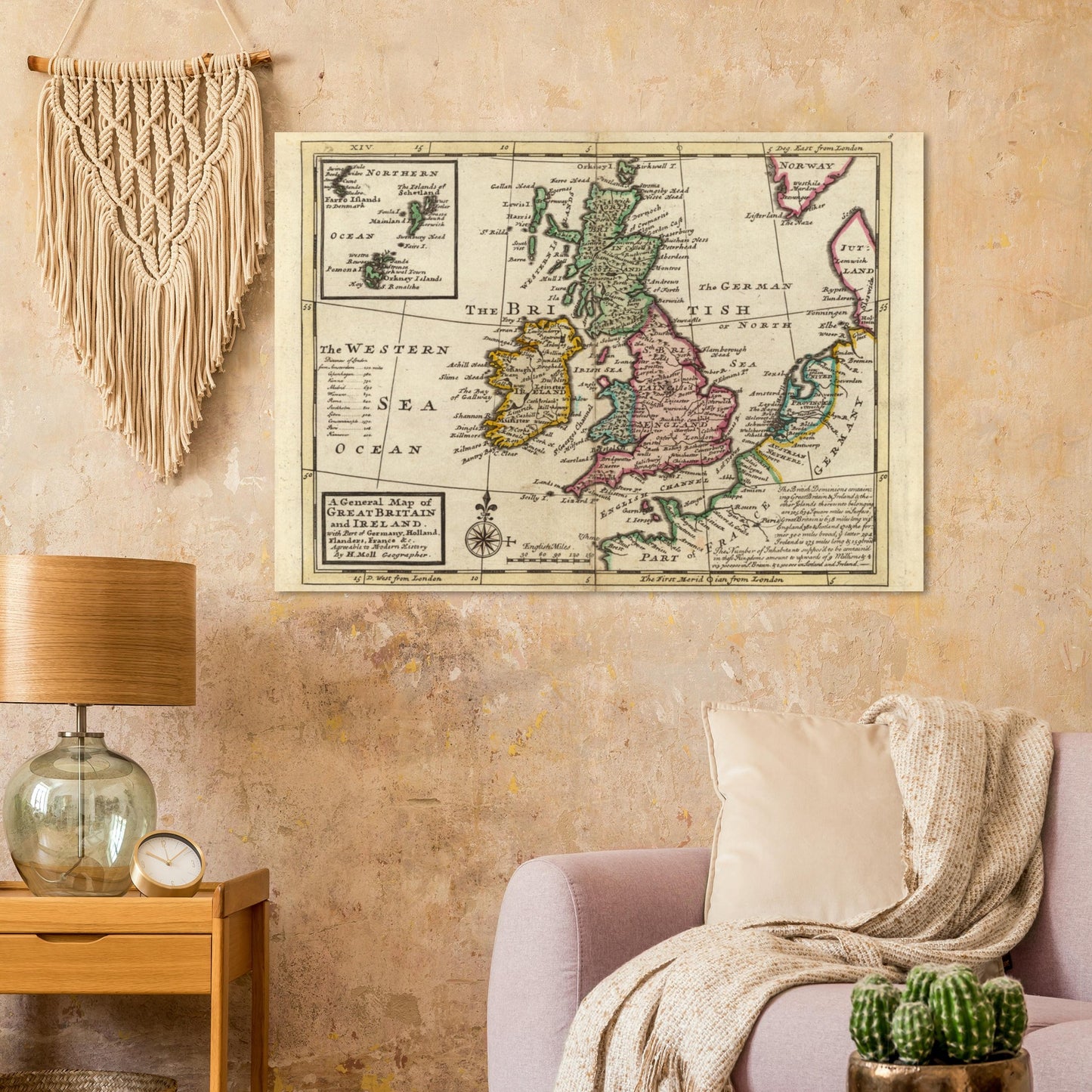
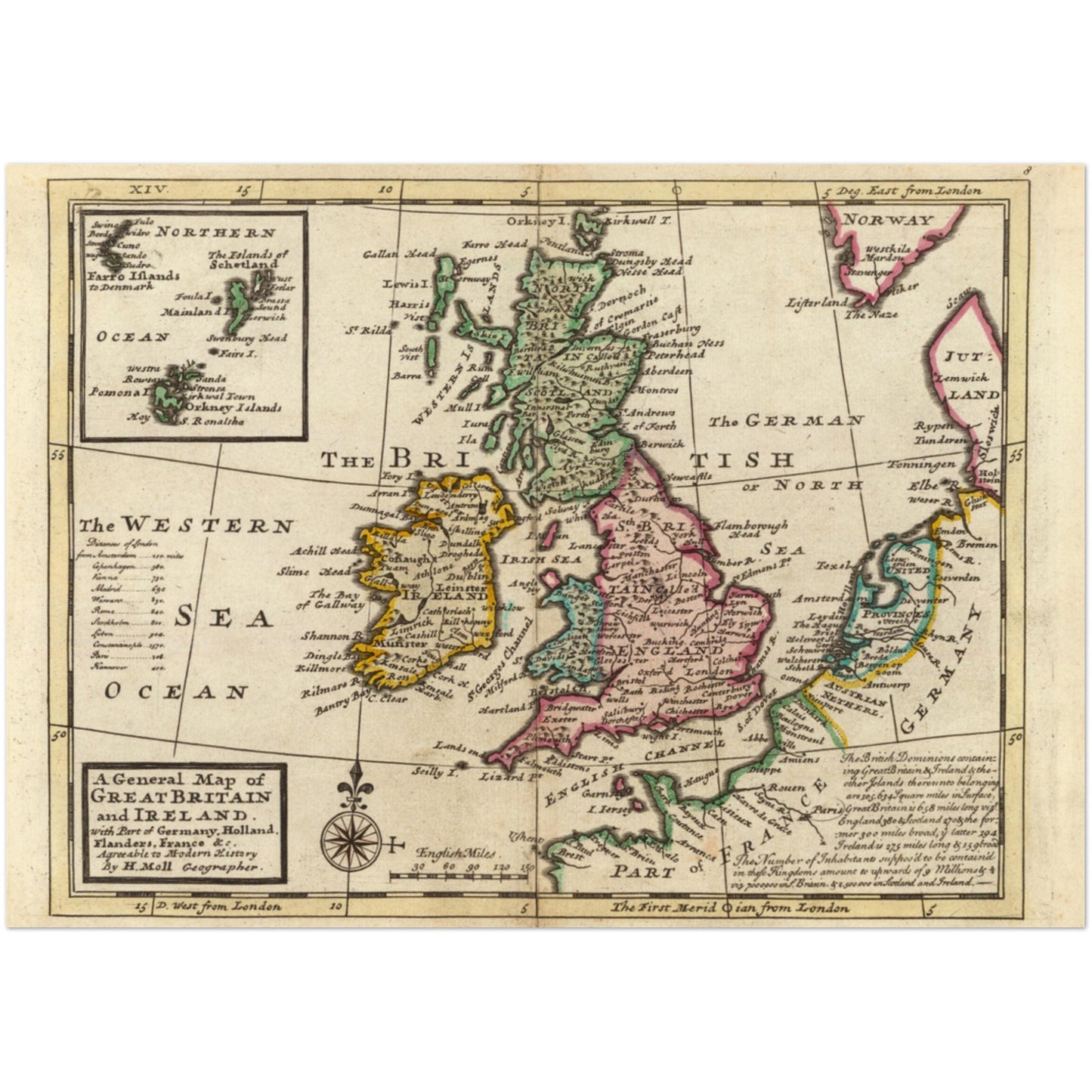
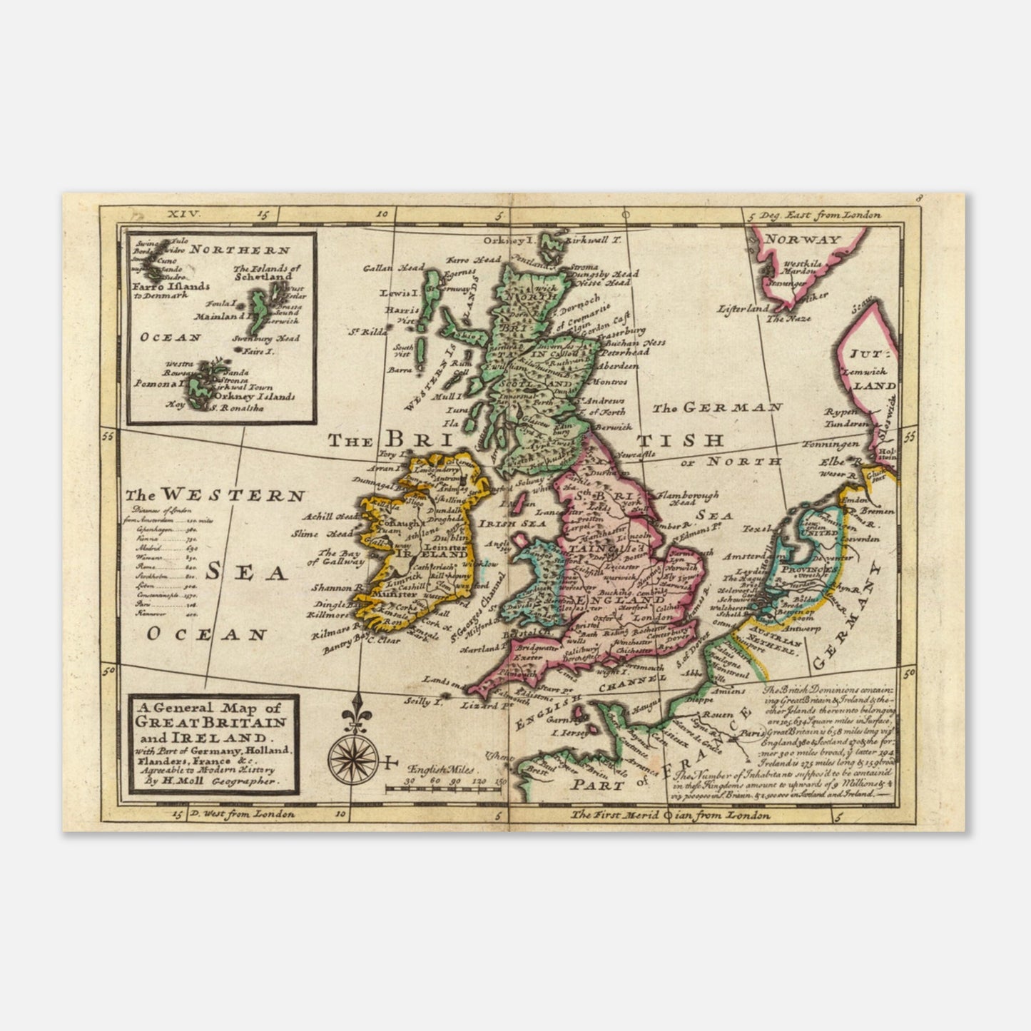
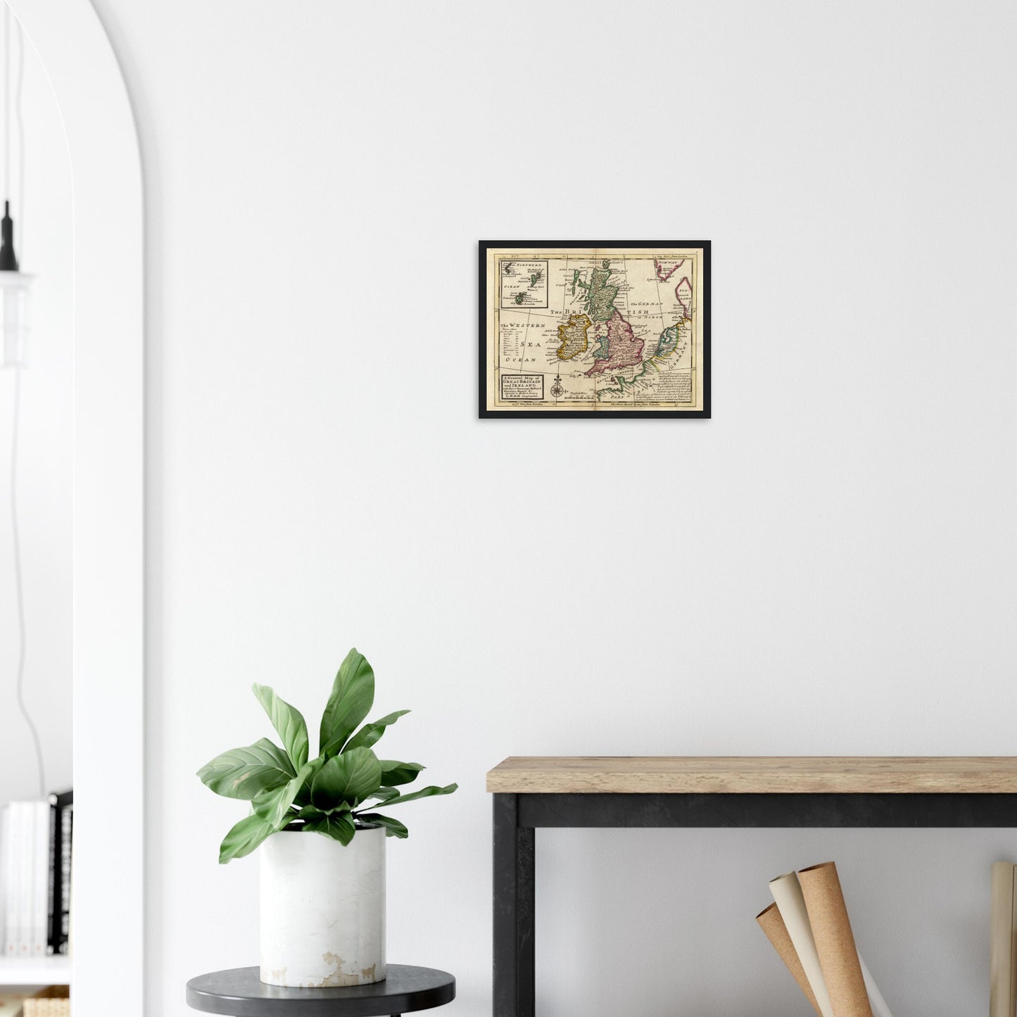
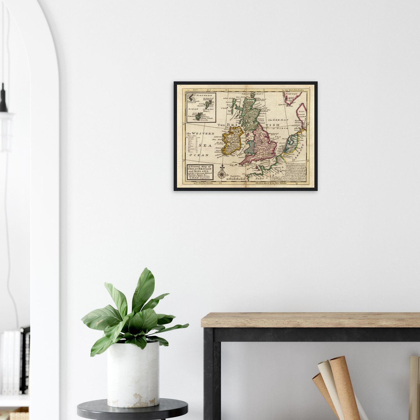
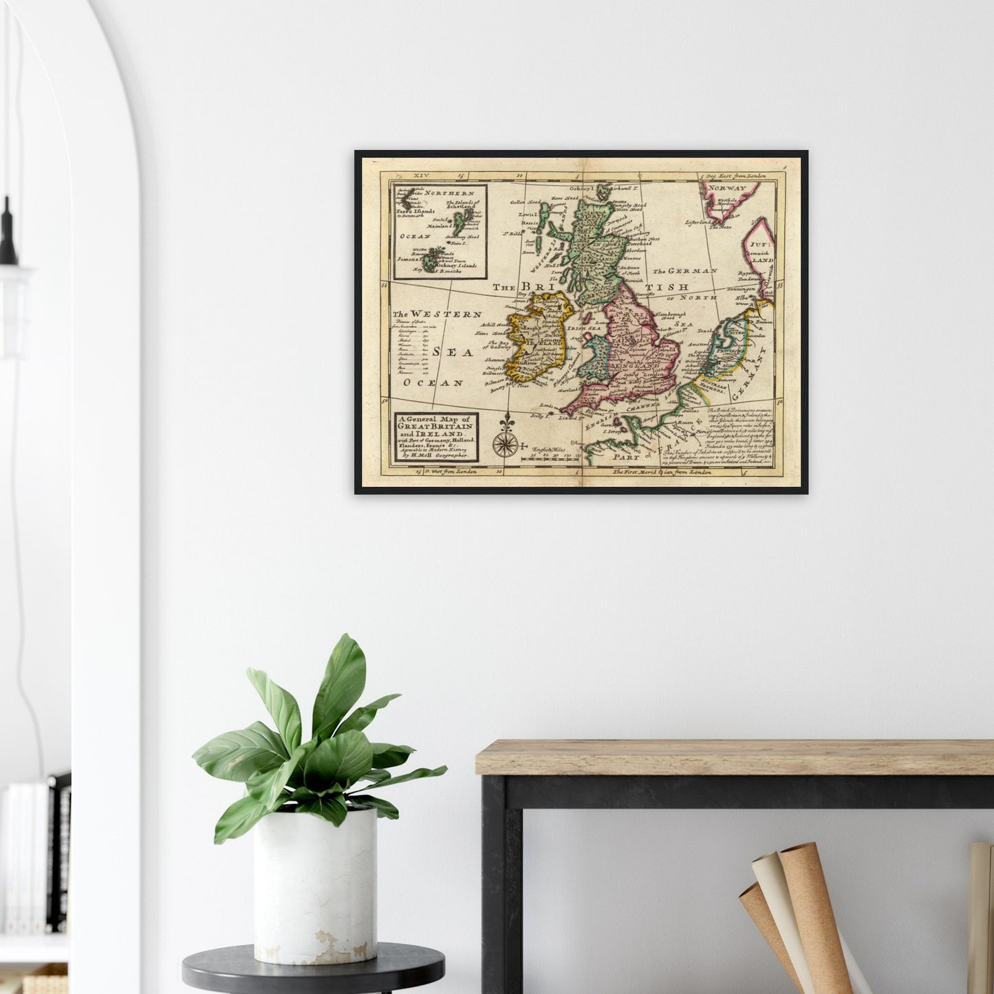
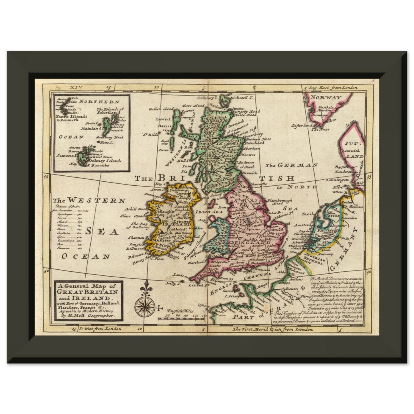
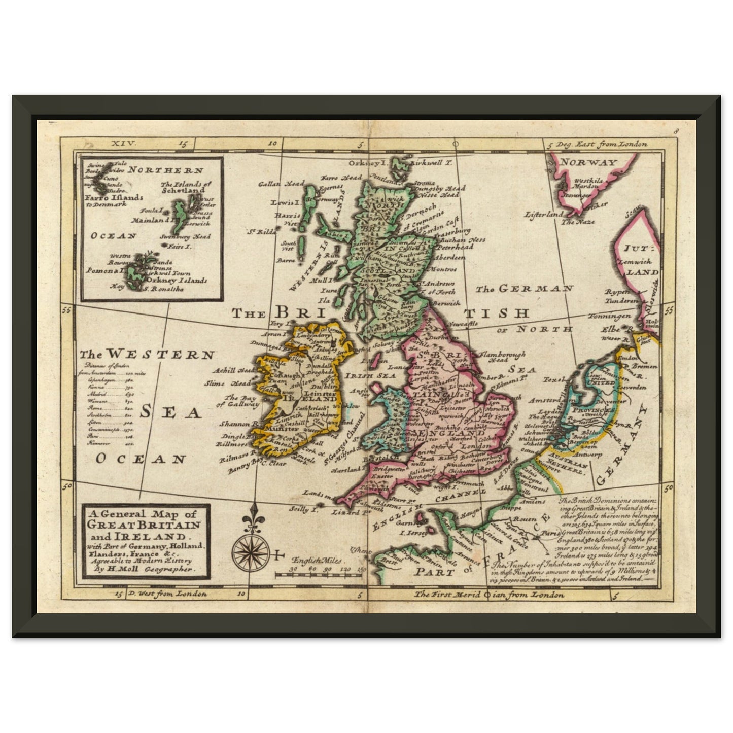
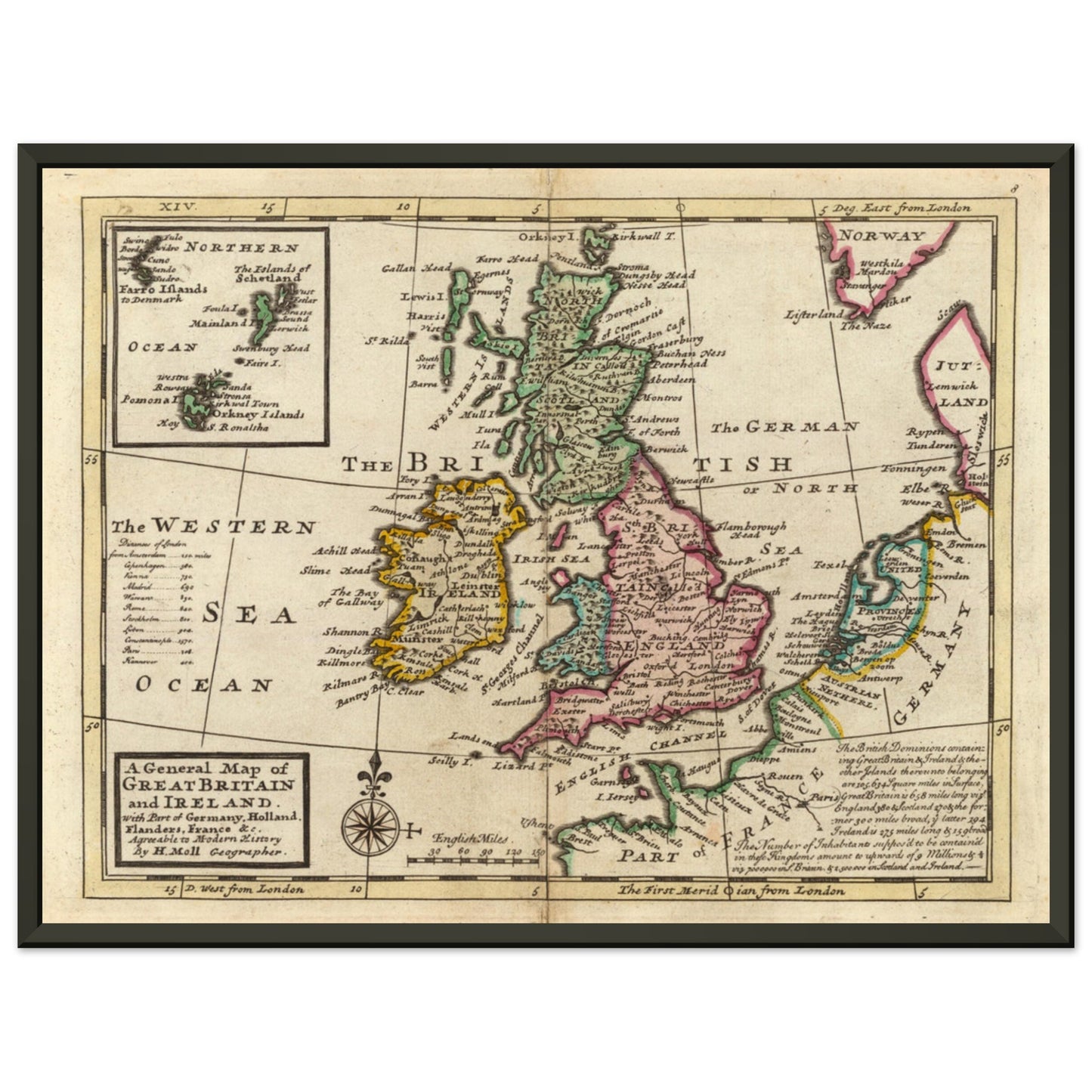
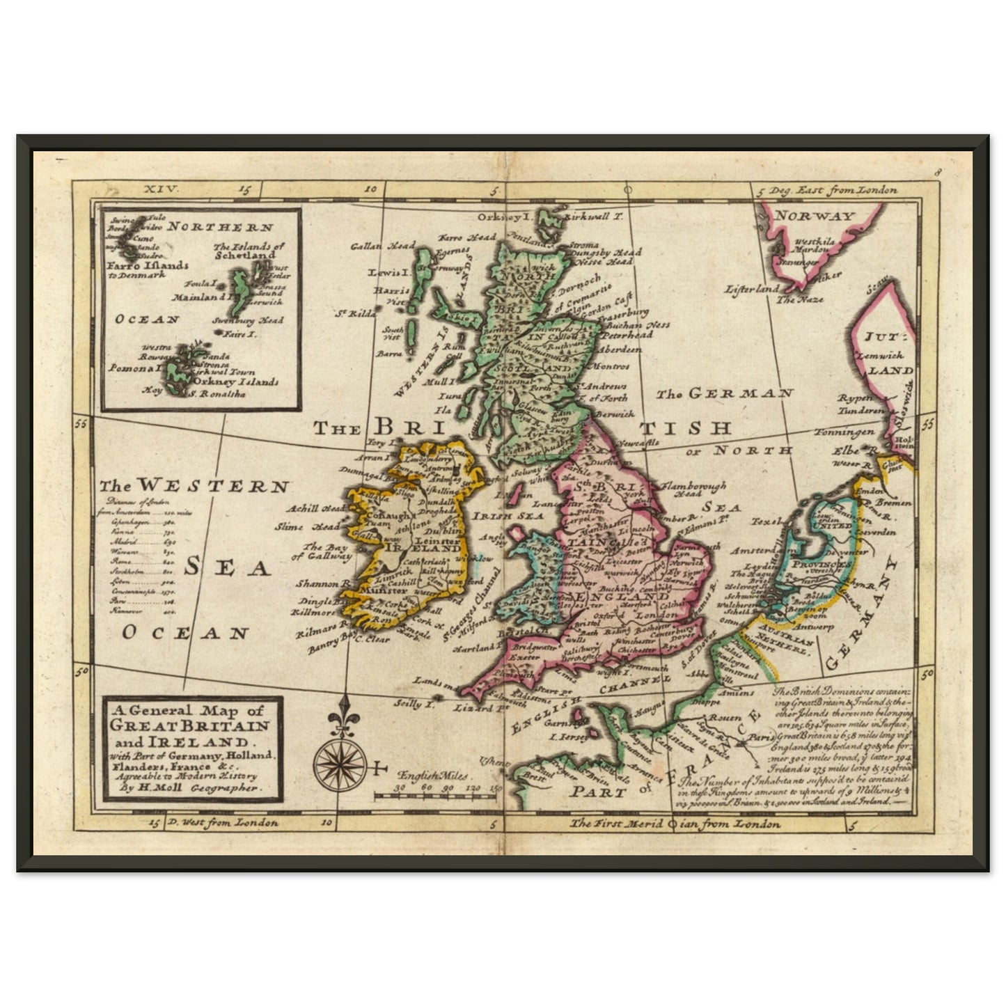
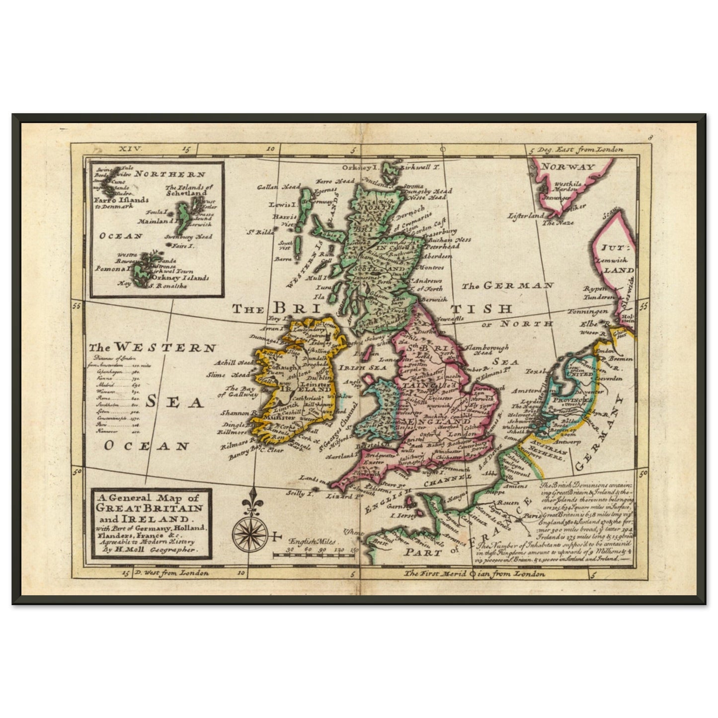
Introducing our extraordinary print of "A General Map of Great Britain and Ireland, with part of Germany, Holland, Flanders, France &c. Agreeable to modern history" by H. Moll Geographer. This hand-colored engraved map, originally printed in 1736, is a true masterpiece of cartography and historical significance.
Immerse yourself in the intricate details and vibrant colors of this print. The relief of the land is depicted pictorially, providing a unique and visually appealing representation of the terrain. The map includes a distance table and a geographical note, enhancing its practicality and educational value.
Printed for Tho: Bowles next ye Chapter House in St. Pauls Church Yard, & John Bowles at the Black Horse in Cornhill, London, this print is a testament to the craftsmanship and expertise of the time. The original edition contained 62 hand-colored double-page engraved maps, including 10 folding maps. This particular edition features revised maps and a new engraved title-page with contents.
The maps in this edition cover various regions, including Europe, Asia, Africa, and the Americas. Notably, the map of America (no. 45) depicts California as an island, adding a fascinating historical perspective. The print also includes additional inserted maps, both colored and uncolored, which were likely sourced from later 18th-century publications.
This reproduction captures the essence and beauty of the original map, meticulously crafted to ensure the highest quality and fidelity to the historical source. Whether you are a history enthusiast, a collector of vintage maps, or simply seeking a visually stunning piece of decor, this print is sure to captivate and inspire.
Add a touch of history and elegance to your home, office, or personal collection with this exceptional print of "A general map of Great Britain and Ireland, with part of Germany, Holland, Flanders, France &c. Agreeable to modern history." Experience the allure of cartographic artistry and relish in the historical significance it represents.
Share
