Cartographys
United States of America - 1900
United States of America - 1900
Couldn't load pickup availability
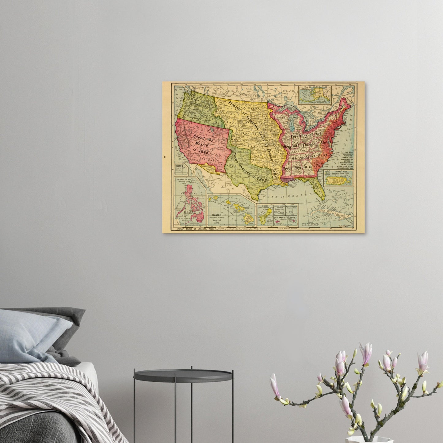
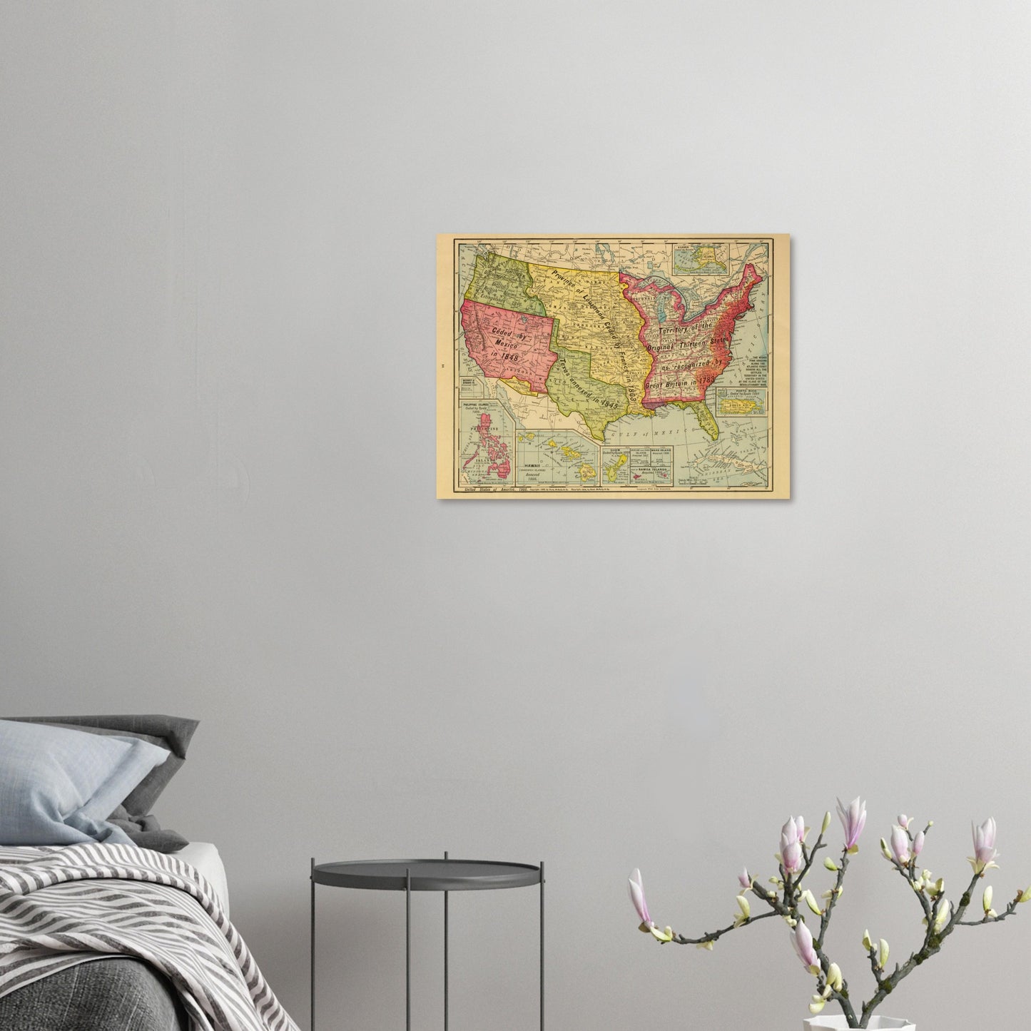
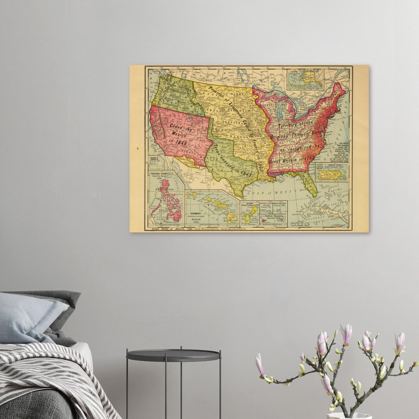
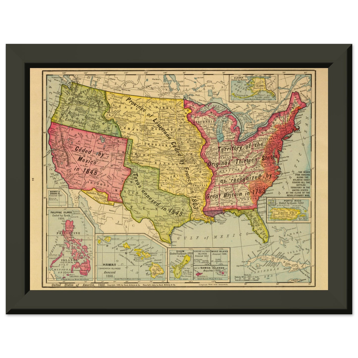
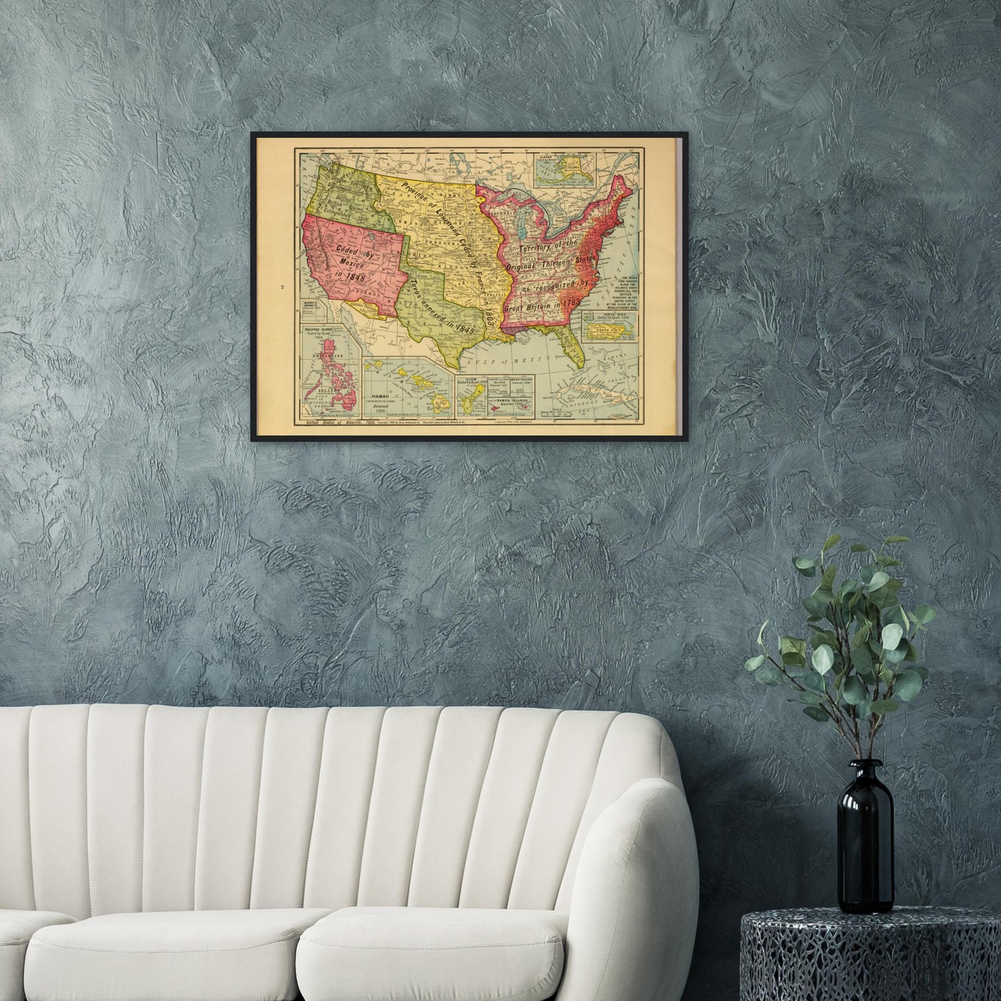
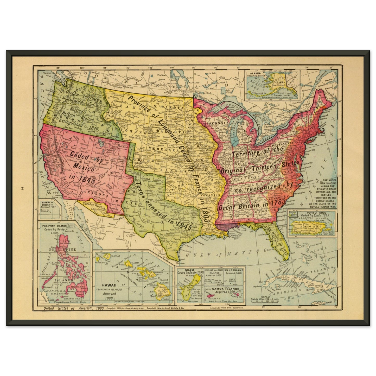
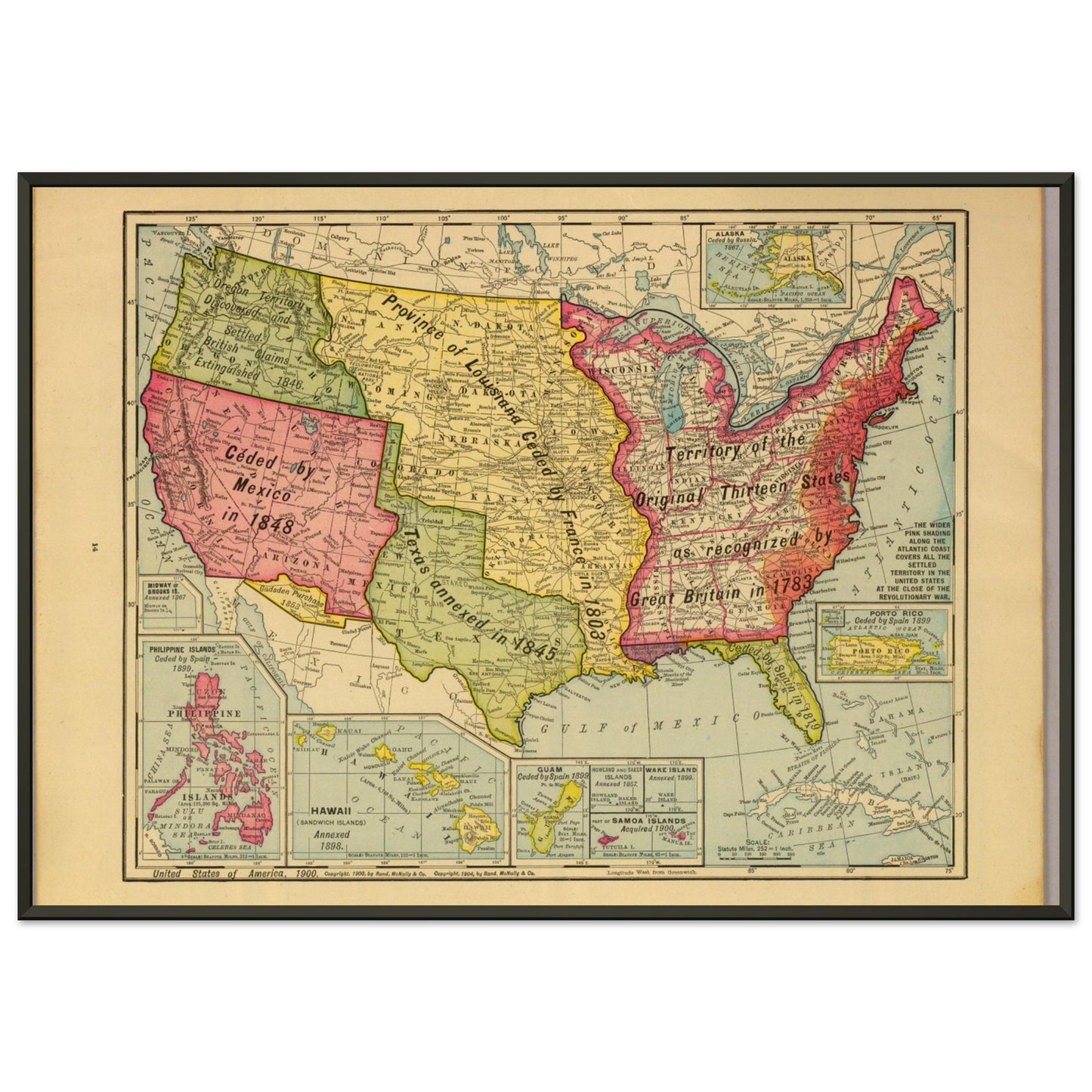
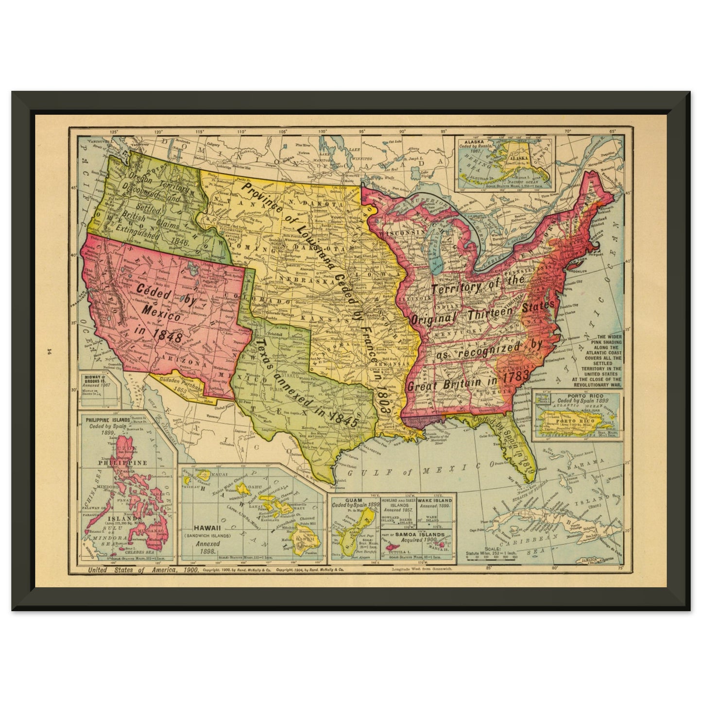
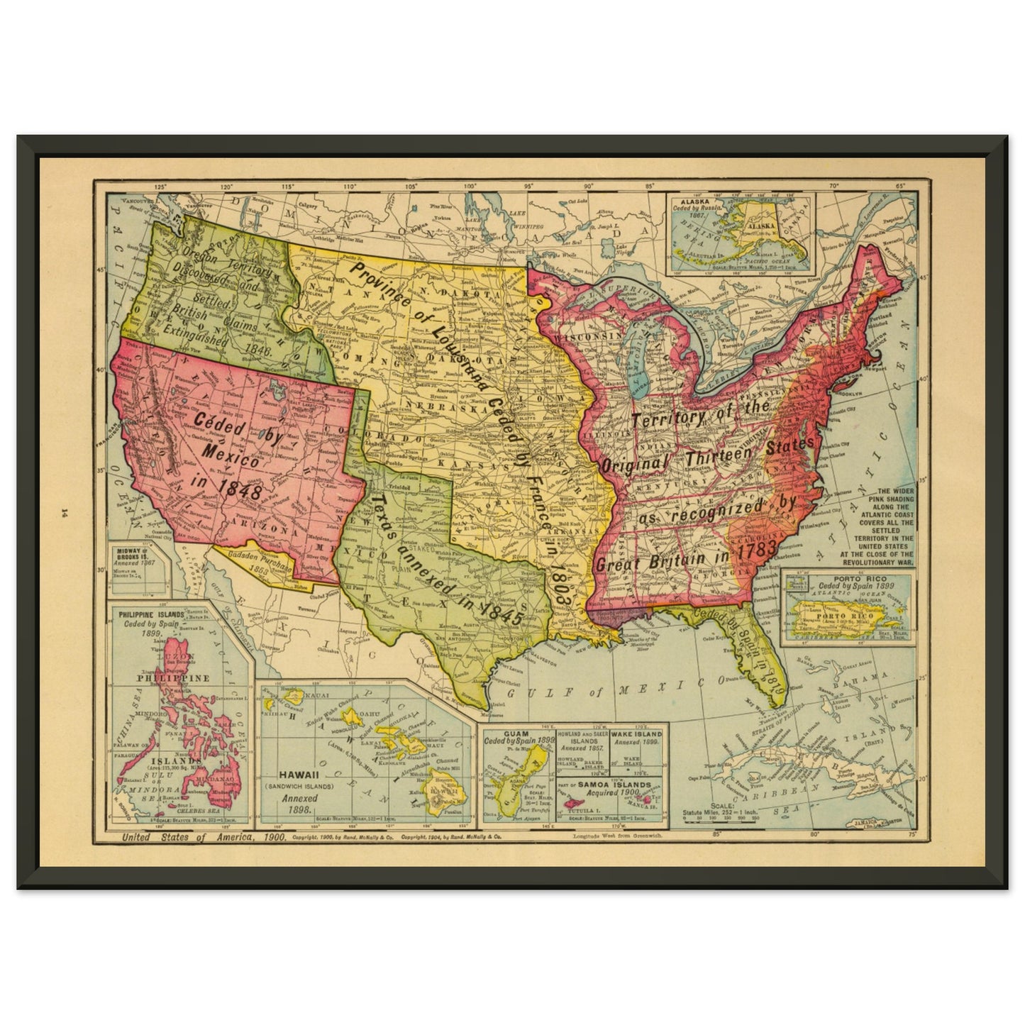
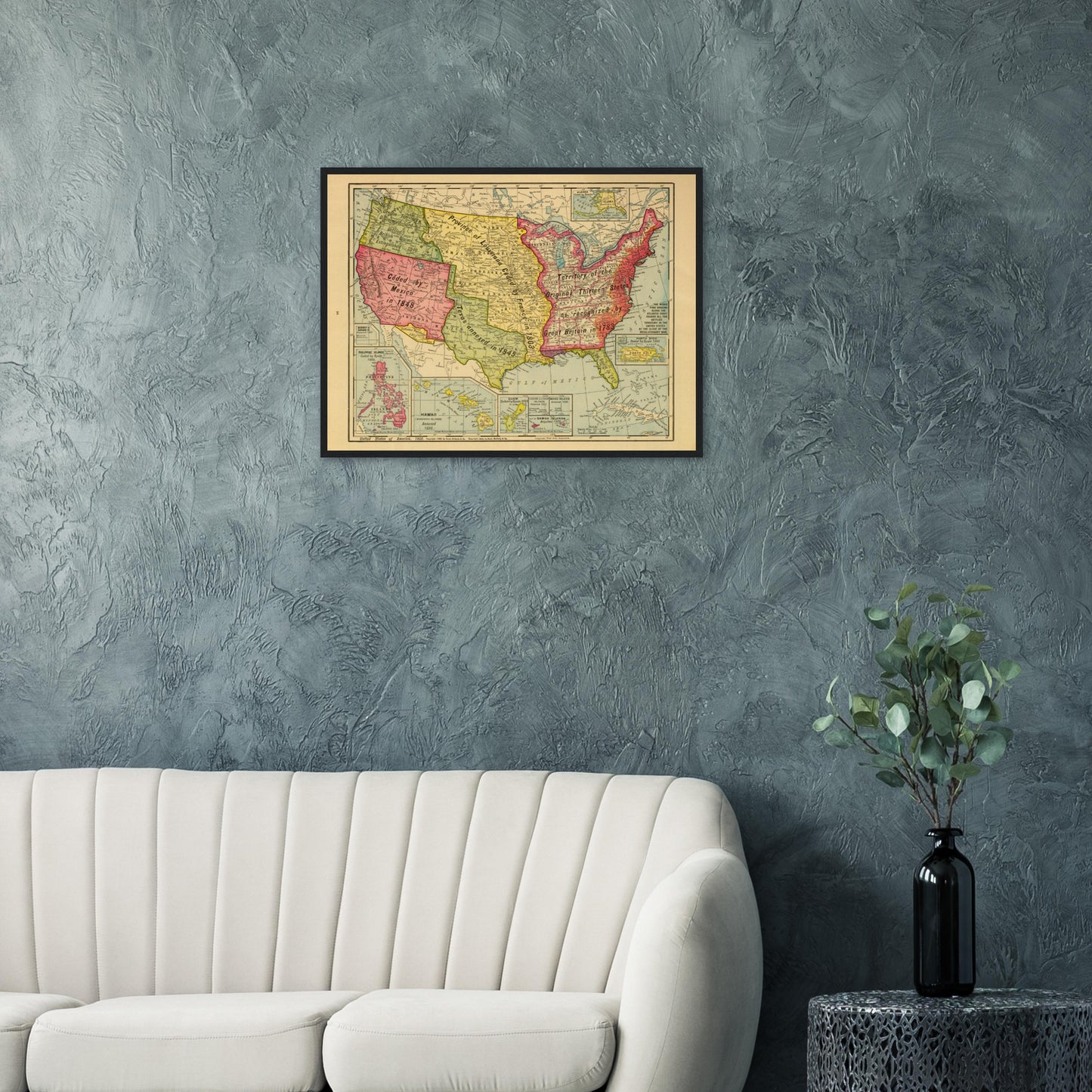
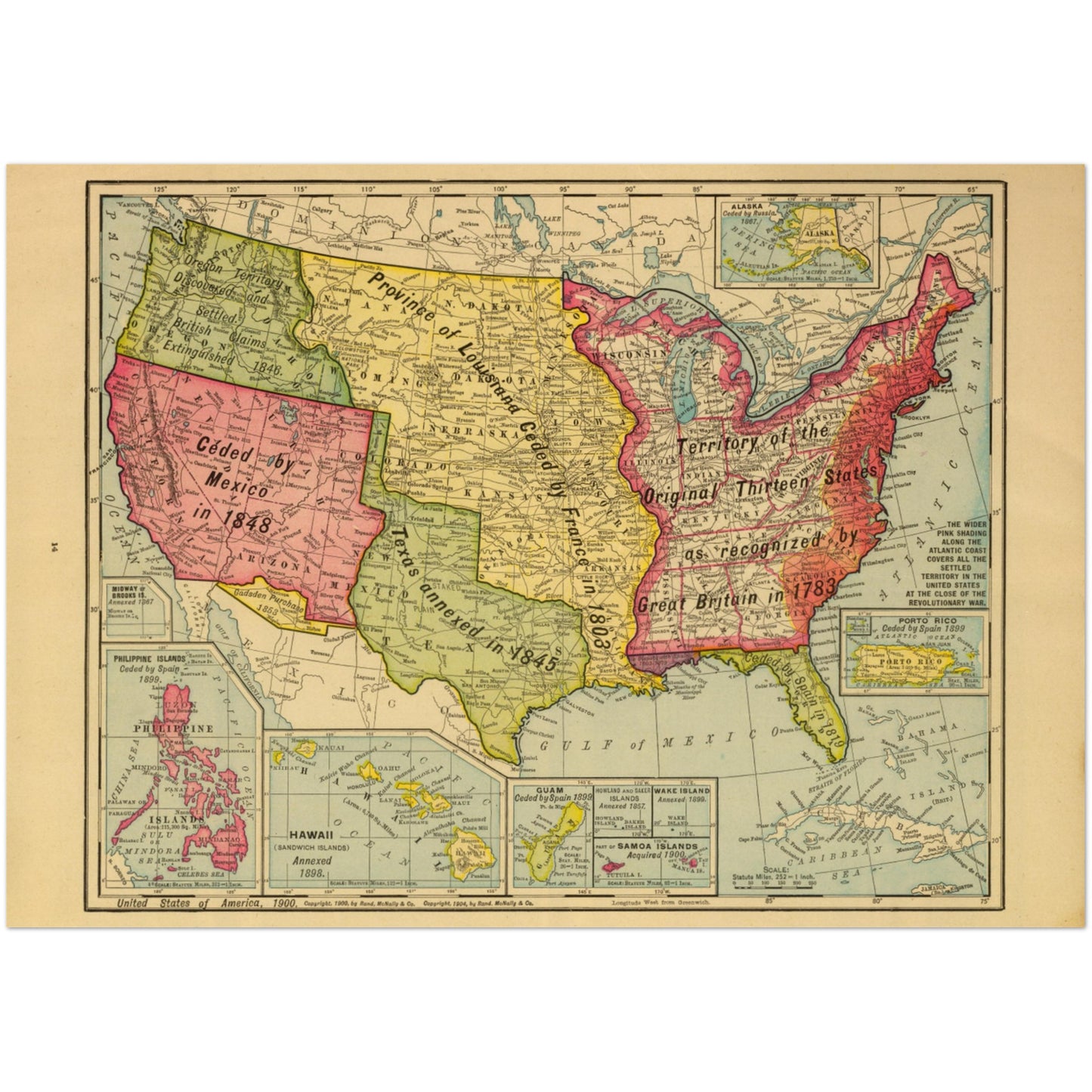
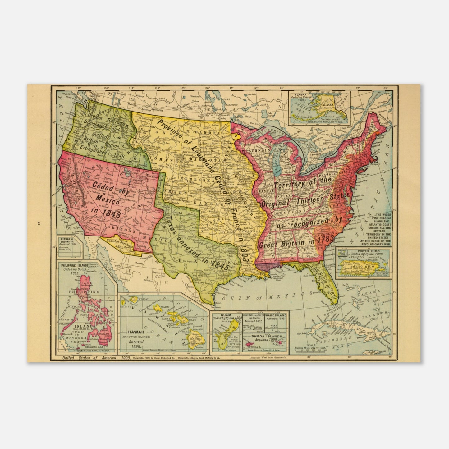
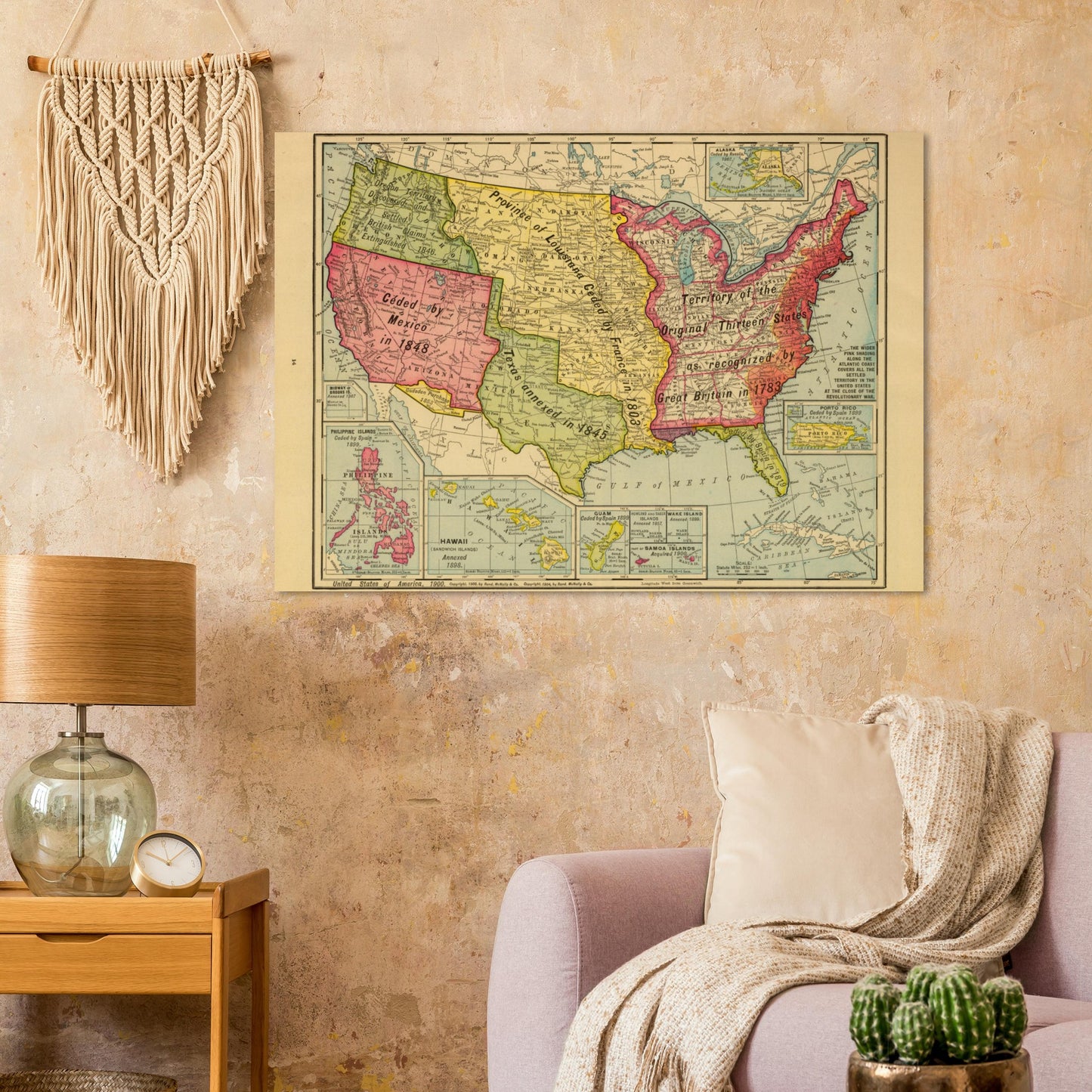
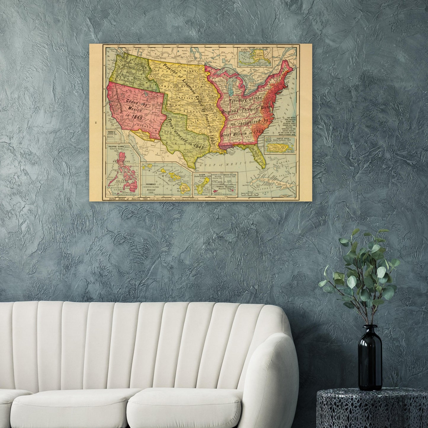
Introducing our exquisite print of the "United States of America, 1900" map, a captivating piece that beautifully captures the historical landscape of the United States during that era. This meticulously reproduced map, copyrighted in 1900 and 1904 by Rand-McNally & Co., is a true testament to the artistry and craftsmanship of the time.
Immerse yourself in the rich colors and intricate details of this full-color map. It showcases the United States with remarkable precision, featuring dates of annexation by region, providing valuable insights into the country's territorial expansion. Additionally, this print includes insets of Midway or Brooks Island, the Philippine Islands, Hawaii, Guam, Howland and Baker Islands, Wake Island, Samoa Islands, and Puerto Rico. These insets offer a closer look at these significant locations, adding depth and context to the overall map.
Notably, this print presents the U.S. side of the conflict, providing a unique perspective on historical events. The maps themselves are standard Rand McNally maps of the period, meticulously reproduced to maintain their authenticity. However, the Mexico map has been overprinted in red to vividly depict the war situation, showcasing the fleets and forts involved. The dramatic presentation adds a captivating element to this already remarkable piece.
Printed in full color, this reproduction captures the essence and beauty of the original map. It is meticulously crafted to ensure the highest quality and fidelity to the historical source. Whether you are a history enthusiast, a collector of vintage maps, or simply seeking a visually stunning piece of decor, this print is sure to captivate and inspire.
Add a touch of history and elegance to your home, office, or personal collection with this exceptional print of the "United States of America, 1900" map. Experience the allure of cartographic artistry and relish in the historical significance it represents.
Share

